The Southwest Coast Path, Cornwall, England, 2015
by Linden B. (Lindy) Sisk
|
|
The Southwest Coast Path, Cornwall, England, 2015by Linden B. (Lindy) Sisk
|
Please remember that each picture is a link to a larger version!
As I was sitting in the dining room at Old MacDonald's Farm, where we are staying, I received an email from Best Buy, exhorting me to "Be Adventurous!" I thought that was pretty funny!
 Magnificent old Norman church in Padstow. The church holds both Anglican and Catholic services, at different times, of course. |
We left Padstow walking west, with the intent to cut a bit off today's walk by going straight across the headland to the north, to shorten the walk for a couple of people who were a bit sore as well as because of the weather forecast. We made a couple of wrong turns, which actually shortened the walk a bit more.
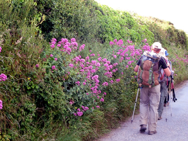
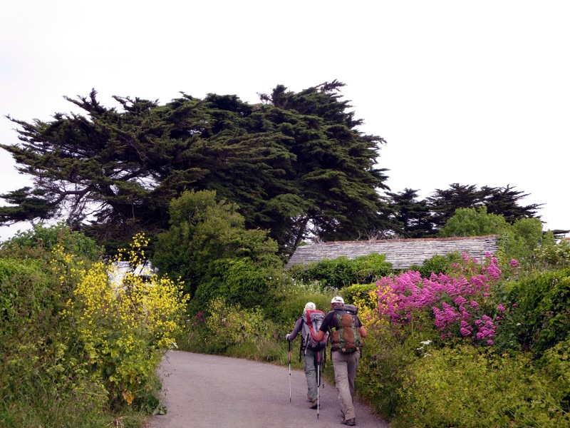
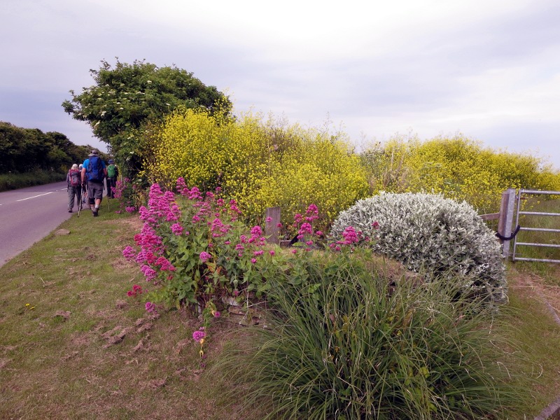
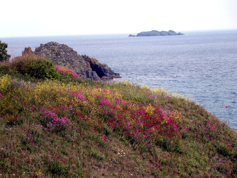
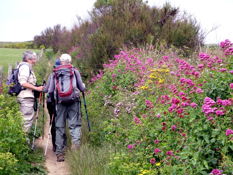
As usual, the astonishing variety of wildflowers continued to attract my eye, as you can see from the photographs.
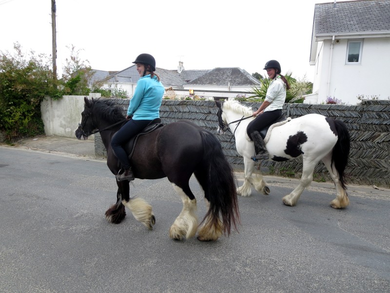
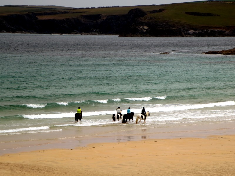
As we passed through the town of Harlyn, four people mounted on magnificent horses with huge fetlocks passed us. They are pictured below, as well as later riding on the beach. The horses were not tall enough to be Clydesdales, though there was some resemblance.
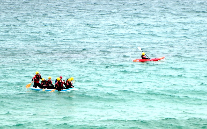
We also encountered a group which looked like another Outward Bound class, or something similar, who were practicing rowing a Zodiac boat, as well as practicing making wet exits from sit-on-top kayaks, then getting them righted and climbing back in. At least, they were doing that, but perhaps it wasn't intentional...
Up near Mother Ivey's Bay, Tristan, Alex, and I elected to go all the way to Trevose Head to see the lighthouse, while the others took a shortcut down toward Booby's Bay. (I'm not making these names up - they're on the map...)
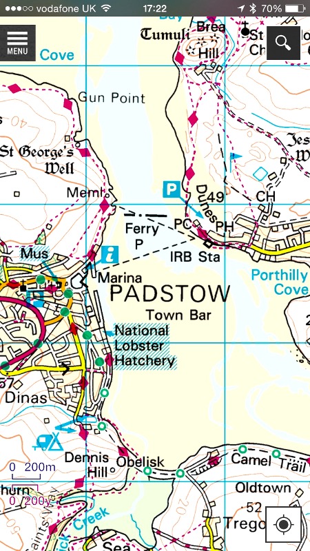
Speaking of maps, Tristan and I have apps on our iPhones which have the excellent Ordnance Survey maps of this area mounted on them. The Ordnance Survey is the British equivalent of the U.S. National Geodetic Survey. However, the Ordnance Survey maps are magnificent - in far more detail than the equivalent U.S. maps. If I could convince the Ordnance Survey to take over mapping the United States, I would. With these maps downloaded into our iphones, so that we don't need a network to access them, many times we have been able to determine our exact position with respect to the Southwest Coast Path, when it was not well marked, or we were off the path for other reasons. I wish the U.S.G.S. maps were half as good. They are not. Below is a pictures of one, so you can see the level of detail. On the map, the Southwest Coast Path is marked by magenta four-sided figures connected by magenta dashes.
On the way up the peninsula, we saw a Royal National Lifeboat Institution boathouse. These boats, manned by volunteers, have been saving lives at sea since 1894. Naturally, they mostly operate in awful weather, and like first responders everywhere, their unofficial motto is, "You have to go out — you don't have to come back." They are magnificent!
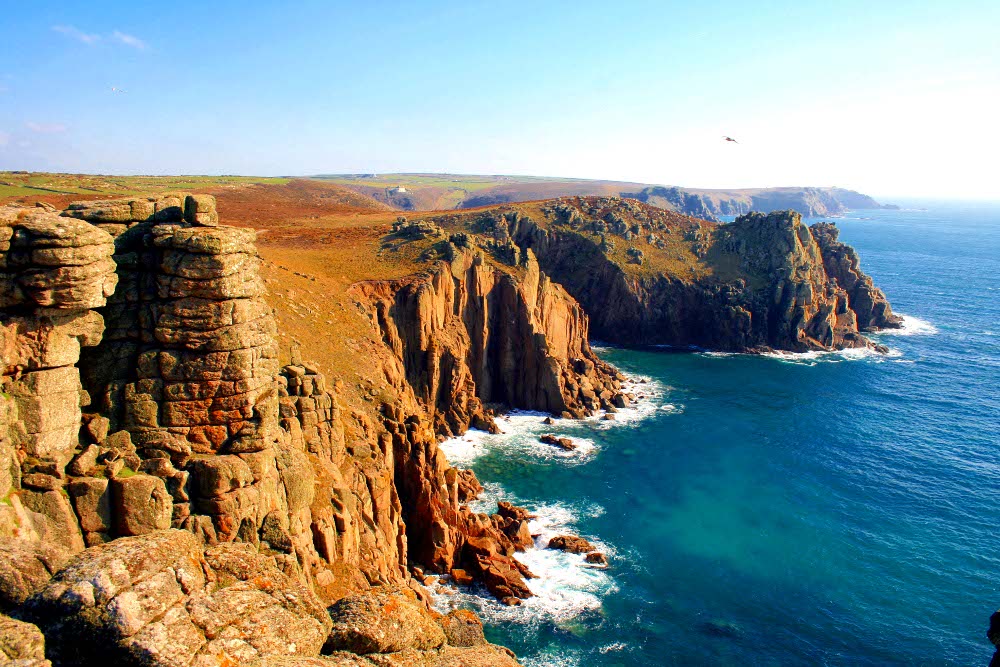
After looking at the lighthouse on Trevose Head, we continued down south. We stopped briefly just south of Constantine Bay, and continued on, encountering the sea gull rookery on an island. We reached the town of Porthcothan, and hiked up the hill to Old MacDonald's Farm.
The weather forecast looks bad for tomorrow, with showers and thunderstorms, so we may elect to bypass the walk tomorrow in the interest of safety — walking on exposed cliffs in thunderstorms carrying metal hiking poles would be...imprudent.
The adventure continues!
 |
 |
 |
 |
 |
 |
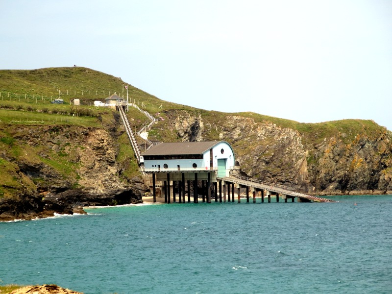 RNLI Lifeboat station |
 |
 |
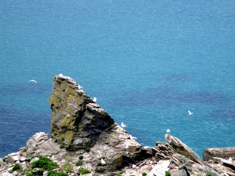 Seagull rookery on an island |
All Rights Reserved