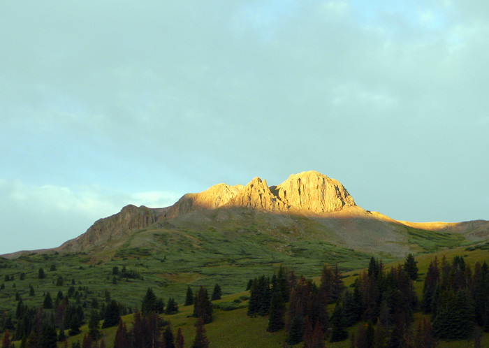
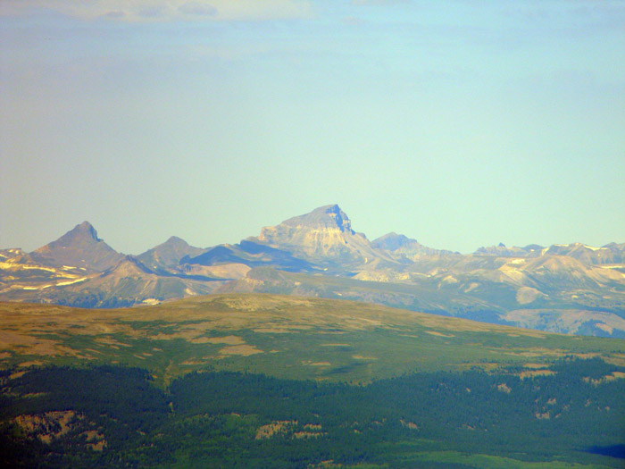
We left in two jeeps, and it took us about 45 minutes to get up to the trailhead. We unloaded and donned gear, and hit the trail. Our early start was rewarded with this spendid view of a peak to the west of the trailhead as the sun came up.
The trail was crowded, including several parties of a couple of people, and one of Boy Scout troop from Los Alamos, New Mexico.
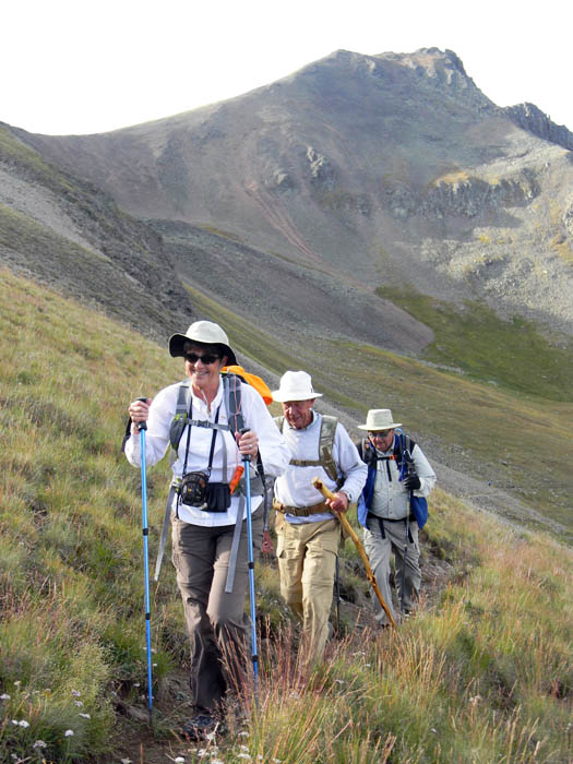
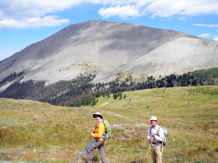
This is Cindy, Tom, and Dan, as we got close to the departure from the Continental Divide and Colorado Trails to ascend the peak. The weather was perfect, as a cold front had blown in and past the previous afternoon - the temperature at the trailhead was about 37 degrees, and the sky was clear.
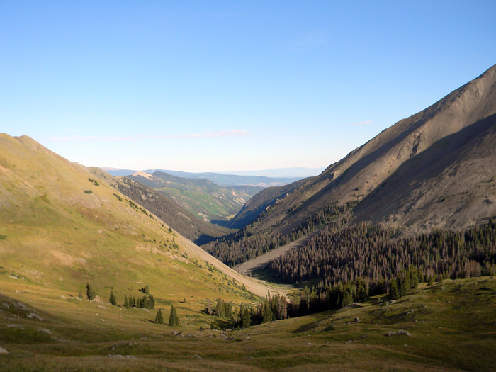
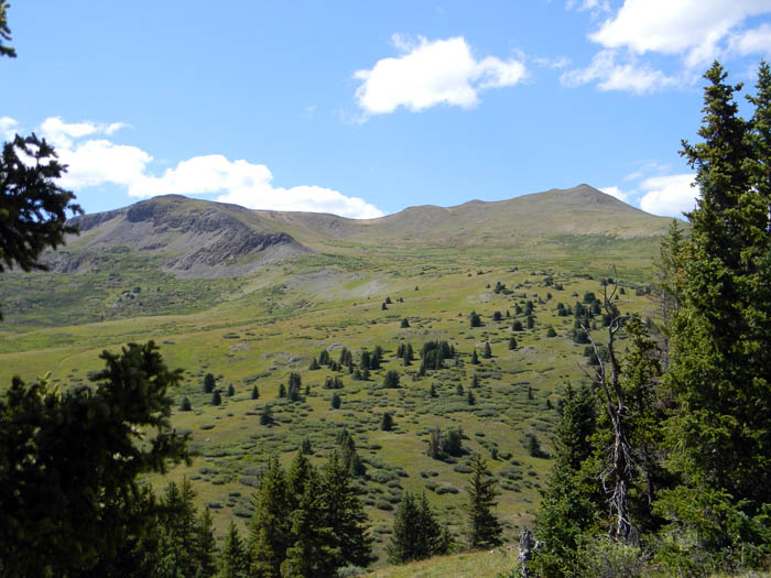
This is a view down the Spring Creek drainage toward what is known as Bondholder Meadows, just west of San Luis Peak.
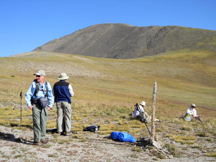
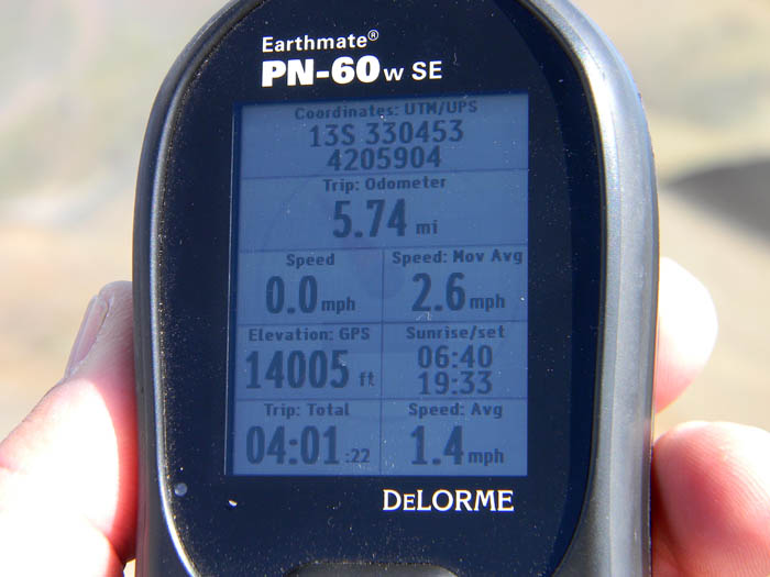
There is a saddle at 12,640 feet right where the Continental Divide and Colorado Trails intersect with the trail up to the top of San Luis Peak. We stopped for snacks, water, and a break for our feet. Alex and Sue were hiking at a more leisurely pace, as they did not intend to summit, and reached the saddle sometime later.
San Luis Peak is in the background in the picture below - only 1,374 more feet to climb.
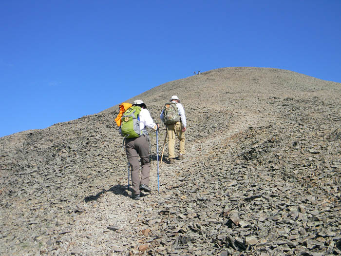
There is a steep ascent right above the saddle, and the trail was pretty steep and rocky above that. Cindy and Tom, climbing up. And, yes, the sky really is that blue.
Eventually, we all got up. The top was crowded, with several parties in the limited space at the top. Some of them had climbed up an alternate route up the Stewart Creek trail.
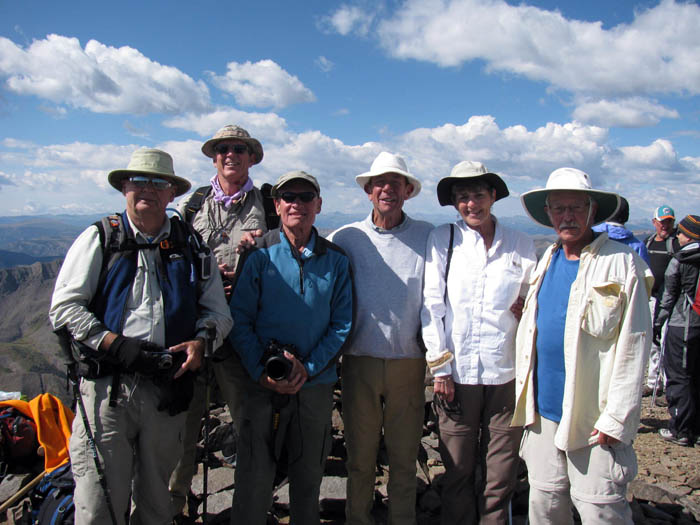
Below is the whole group: L-R, Dan, Me, Tristan, Tom, Cindy, John.
Cindy at the top.
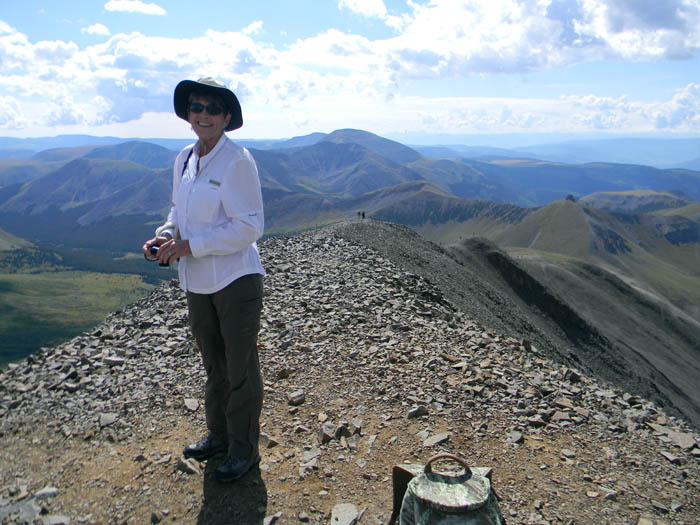
The views from the top were incredible. The peak in the center below, Uncompahgre, another "Fourteener", is, in fact, almost 30 miles away, as an eagle flies.
On the way out, we paused to look back at the peak we had just climbed. It seemed insurmountable, from that vantage point, but we had, in fact, surmounted it.
The countryside here is just so beautiful. We paused on the way back down to the trailhead to admire this view of the park-like terrain to the west of the trail up to San Luis Pass.
So, 11.8 miles of beautiful scenery, 8724' of elevation gain and loss - another beautiful day spent with good friends. I have hiked a lot alone, and there is no pleasure like a pleasure shared with good friends.
All Rights Reserved