Saturday, July 2, I took a little walk on Snow Mesa.
I left the park at 5:35 A.M. It's about 35 miles to the trailhead at Spring Creek Pass. I wanted to be on the trail early, because about 8 miles of that hike is above 12,000 feet, and getting caught up there in an afternoon thunderstorm is, to be polite, undesirable. There is no place to hide.
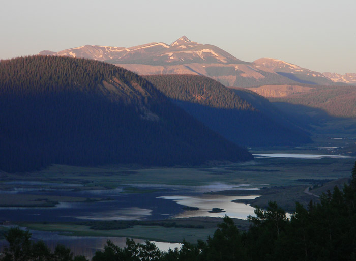
On the way to the pass, I stopped at a scenic overlook and took a picture of Brown Lakes and the mountains as the sun was coming up.
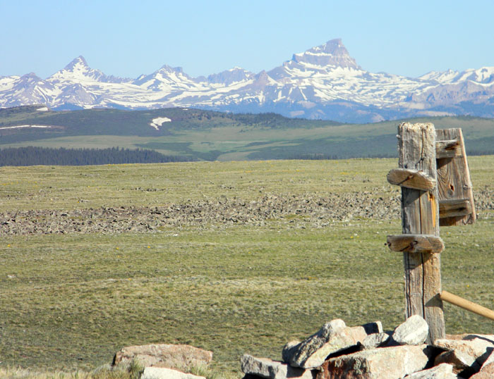
The tundra you see between the cairn and the mountains is characteristic of the entire mesa, which covers an area about five miles from east to west, and perhaps averages two miles north to south.
The peak on the right of the picture is Uncompahgre Peak. The sharply pointed one on the left is Matterhorn. I don't know what the others are. Uncompahgre Peak is about 21 miles to the west northwest of the location from which the picture was taken. The trees and other green terrain you see are not on the mesa, but are on the other side of Spring Creek Pass.
I took off down the Continental Divide Trail headed east. The trail was easy to follow. There were a few minor stream crossings, but I was able to step across them without getting my feet wet. There were also a few boggy areas left by melting snow, likewise easily traversed.
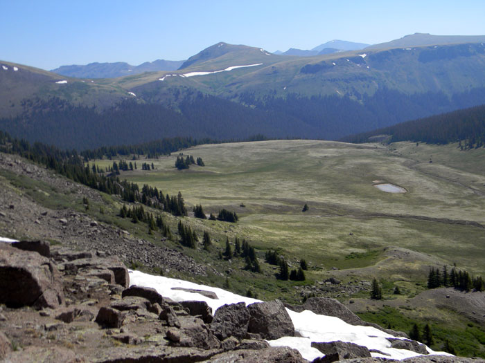
After about three and a half miles, I left the CDT, and struck cross country going southeast toward a terrain feature that looked interesting - it overlooks a relatively flat park about 500 feet below the mesa rim. I reached it in about a mile, and took off my backpack and waist pack. I drank a half liter of water, and ate some elk summer sausage with cheese and jalapenos in it. I took some pictures, and sent an update to Facebook using the SPOT transmitter and my GPS, noting that I was having lunch on Snow Mesa. The updates are limited to 40 characters, so brevity is essential.
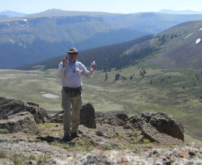
And this is me, having brunch in very beautiful country.
It was now just after 10:20 A.M., so I decided to head back. It took me about an hour and 35 minutes of hiking to get back to the west edge of the mesa. I sat down to rest my feet, changed socks, drank some water, and enjoyed the scenary for about 15 minutes.
On the way back down the trail, I encountered a lone woman who said she was just going up to the top of the mesa. She was the only other person I saw all day. A bit lower down, I saw some fresh tracks on the trail of several people including a couple of children, judging from the tracks, who went part way up and then turned around.
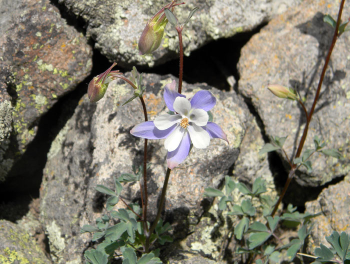
I also saw the beautiful Columbine below, which is the state flower of Colorado.
The hike took about 7 hours total, of which an hour or so was occupied resting, eating, goofing off, and enjoying the view. Total mileage was about 10.5, with probably 3000 feet of total elevation gain and loss.
As I walked along Snow Mesa, admiring the mountains and the beautiful flowers, I gave thanks to God for having created these beautiful mountains for me to walk in. If you ever pondered the nature of beauty, and wondered at the fact that the world is full of it, there is a hint there of the love of God for us.
The views are gorgeous. If the trailhead was 5 miles away, rather than 35, I might hike that trail every day. But there is no shortage of trails to hike in this area. I am blessed to be here, and to have the ability and desire to get up into the backcountry.
All Rights Reserved