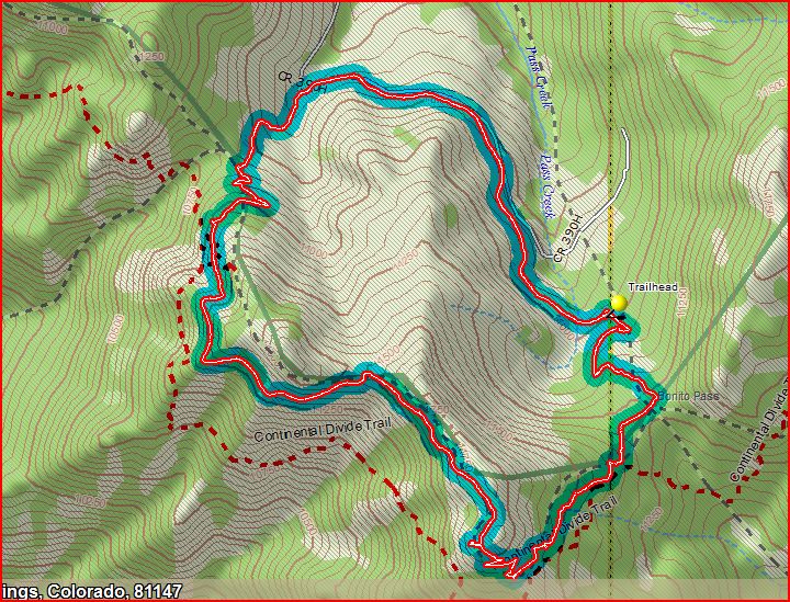
The map of the route is below.
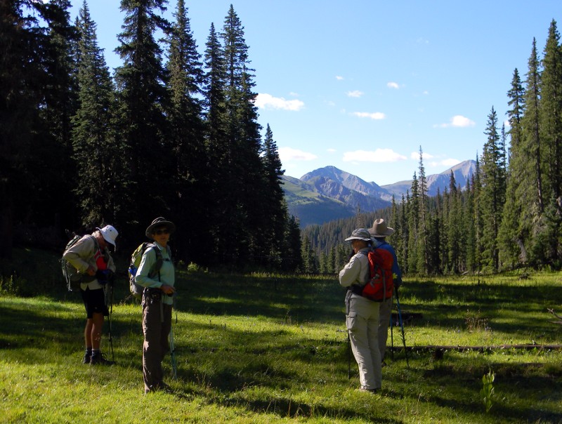
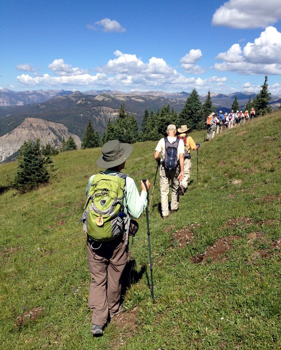
We started up the trail next to the parking area, eventually reaching the Continental Divide Trail at the beautiful meadow shown below.
We headed down the trail in a generally westward direction through a forested area with some pretty flowers.
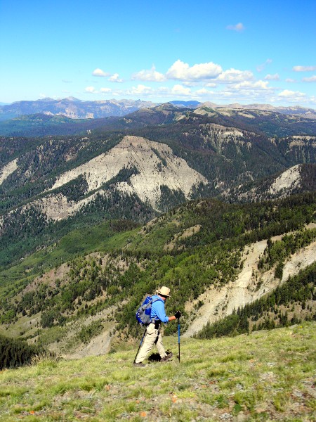
We reached a splendid overlook with tremendous views to the west. One of our group is shown here just below the overlook.
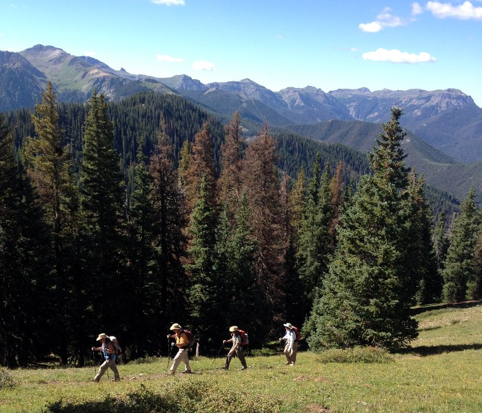
The trail flattened out for a bit, offering wonderful views.
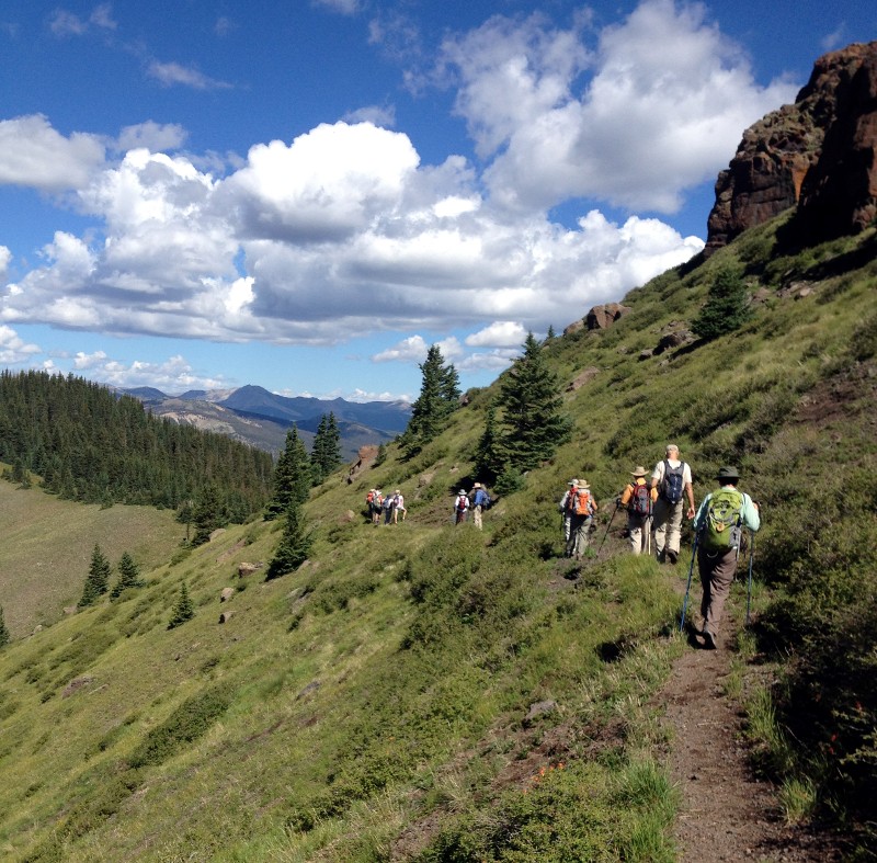
Then the trail became narrower and began to descend, with steep dropoffs but wonderful views of the mountains and valleys to the south and west.
After crossing a talus slope, we stopped to eat lunch at about 11:30 in a flat, and lovely shaded spot. Then we proceeded down the CDT to a side trail which lead us back to the road we came in on, leaving us with a mile and a quarter hike back uphill to the cars. We got sprinkled on a bit on that stretch, but not enough to make us put on rain gear. We arrived back at the cars at about 12:40.
The total mileage on the hike was about 5.25, but with 1800 feet of ascents, and, of course, 1800 feet of descent, since we hiked a loop. The distance is not great, but that's about the equivalent of climbing up the stairs of a 180 story building - and then walking down again, although the average grade over the entire hike was only about 12 percent.
My sister Cathy, upon seeing one of the pictures I posted on Facebook, asked, "Don't you people ever just sit in a chair and read a book or something?" I think the pictures show why we spend many of our days on the trails.