Photographs by Lindy Sisk, Brittany Fraser, and Zach Fraser
© 2015 by Linden B. (Lindy) Sisk, Brittany Fraser, and Zach Fraser
All Rights Reserved
|
|
"You are nothing to the mountain, nothing to the ocean. You can sometimes make one mistake, sometimes two. Then you die. In earlier times the possibility of death was a given — now we have this cell-phone culture where you always expect to be saved. Suddenly people are shocked when somebody dies."
— Mark Jenkins, climber and writer
Warning: the routes traversed on this hike should be attempted only by experienced hikers in excellent physical condition, with the proper equipment to survive severe high-altitude weather, and with the ability to navigate in the absence of obvious trails. The most experienced member of our group had a problem on this route which required emergency evacuation — and we had communications equipment which allowed us to make that happen.
In 2011, Tristan MacDonald organized and led a hike of his two grandchildren, Brittany and Zach Fraser, and me on a hike along the Continental Divide. That story is told here.
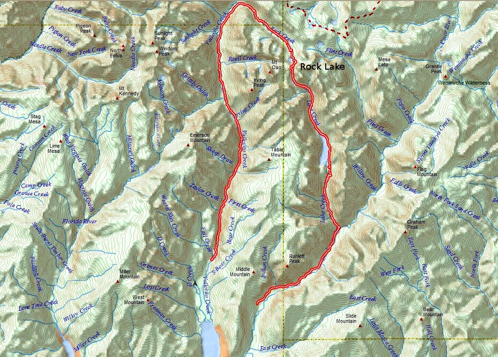
Tristan proposed that we assemble the same group again, to do a semi-loop hike in the Weminuche Wilderness of Colorado, starting near his home in Durango, and I immediately accepted. A map of the route is shown below, with both the starting and ending trailheads near Vallecito Lake.
 |
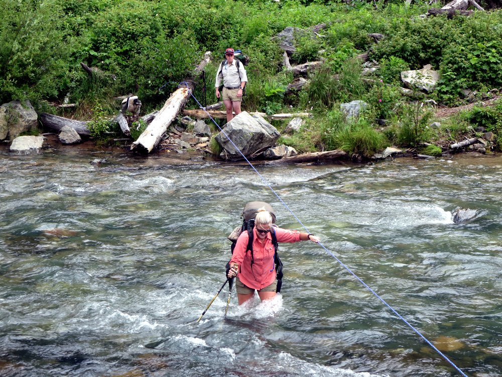 We started at the Vallecito Creek trailhead, and headed north, following the trail alongside Vallecito Creek. The trail was not steep in this section, and we crossed the creek a couple of times on bridges. The third crossing was a bit more problematic, as there used to be a suspension bridge across the creek at this point — but it was swept away years ago by high water, and not rebuilt, as mechanized equipment is not allowed in the wilderness area. Fortunately, some kind soul had left a rope there, so we changed into sandals or water shoes, and proceeded across without drama, although there was some discussion of whether the water was knee high, thigh high, or waist high... Brittany is crossing in the picture to the right, while Zach is waiting until she gets across — more than one person on the rope might upset the balance of another. There would be much more drama later, on another creek.
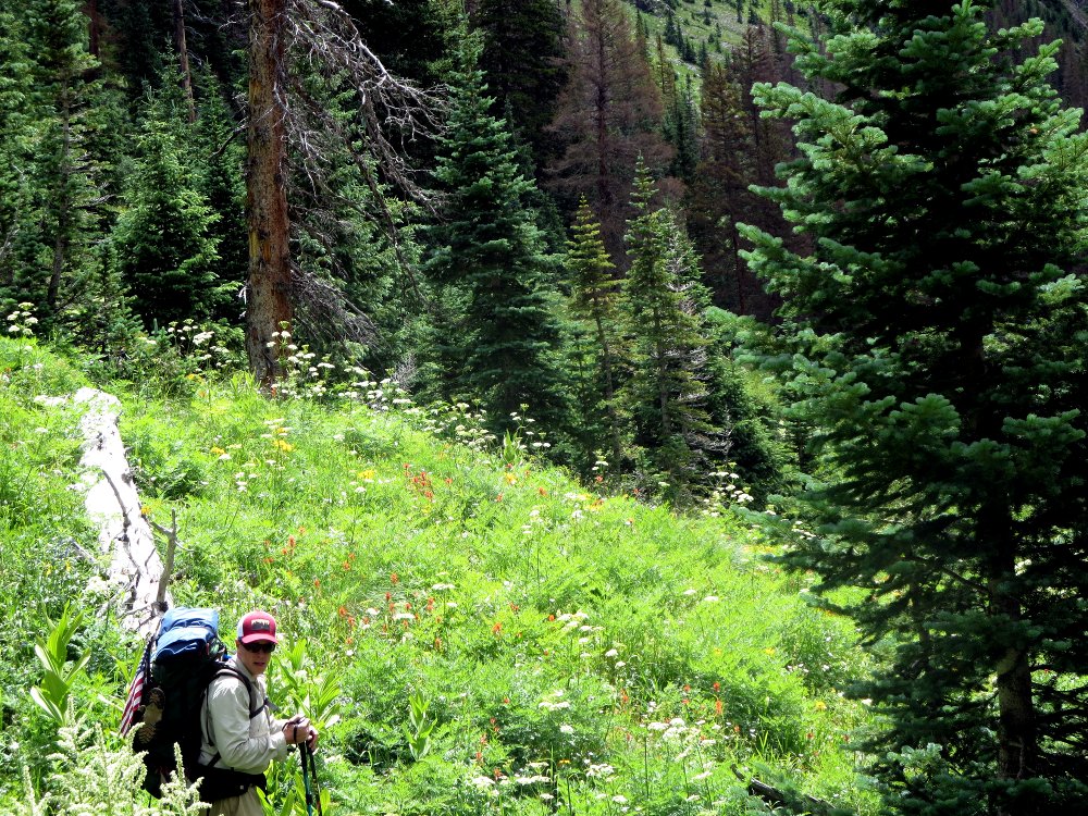
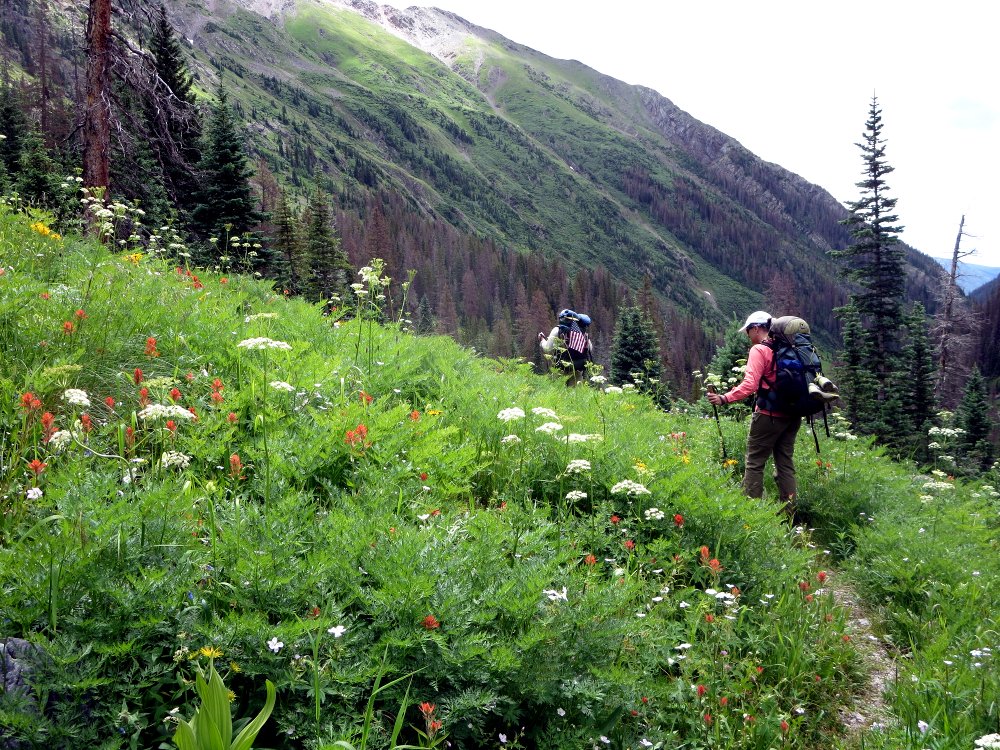
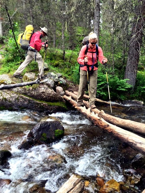 Besides crossing Vallecito Creek itself, we had several crossings of side streams, which were usually less dramatic, as we could hop across rocks or walk on logs, using our hiking poles for balance. I had never used hiking poles until a trip to Argentina, chronicled here, during which we encountered terrain which I could not have traversed without them. I might have fallen several times on this hike without the poles, which I will no longer hike without. Not only do they help you maintain your balance is precarious situations like crossing a stream on a log, but they help you to walk more efficiently on narrow trails by preventing you from taking a step off the trail to maintain your balance, which uses muscle power you will need later.
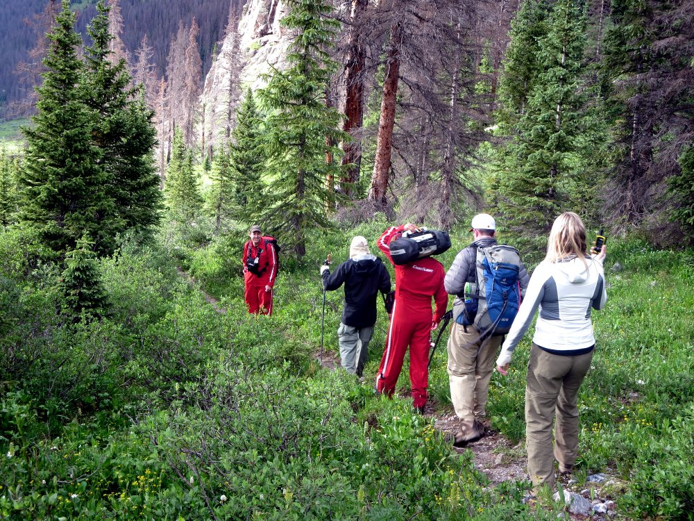
On we went up the trail, passing Johnson Creek, where the season before Tristan MacDonald, Hal Murphree, Zach Fraser, Cindy Crochet, and I had turned west at the Johnson Creek intersection, and hiked over Columbine Pass into Chicago Basin, a story chronicled here.
Shortly after passing that intersection, we began looking for a camp site. We had to pass one near Roell Creek, because a party hiking with a llama as a pack animal has already occupied it. I had previously noticed the llama's apparently fresh tracks on the trail, and wondered if we would catch up to it.
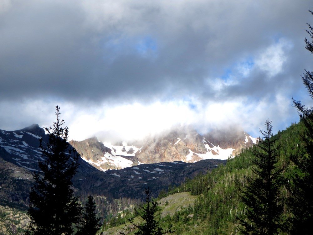
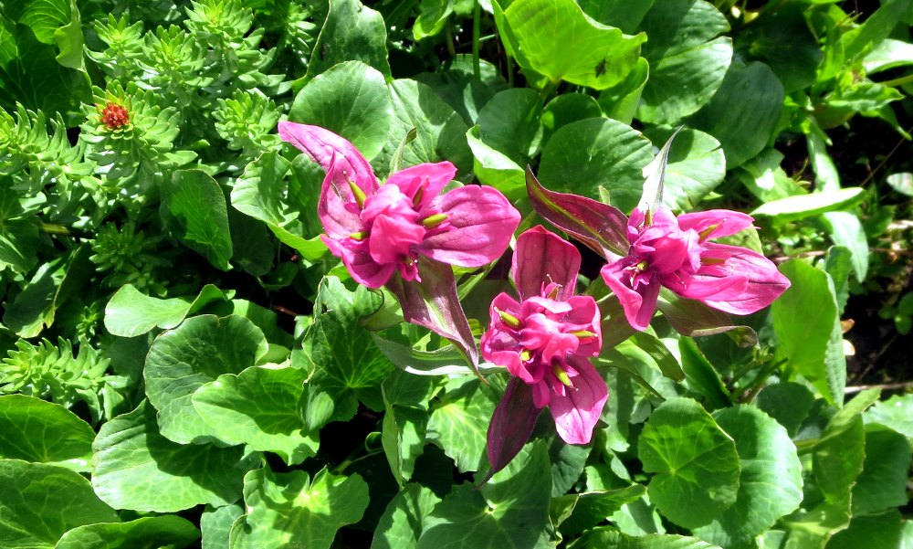
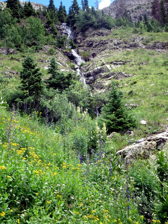
The area had plentiful rain during the spring, which caused the creeks and streams to run high, but also providing plenty of moisture for beautiful flowers.
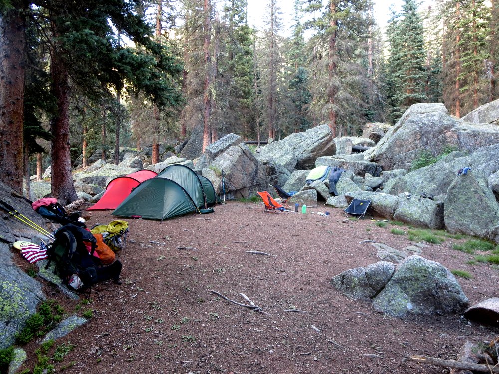
We finally did find an excellent camp site, and settled in for the evening. We hiked 12.2 miles that day, and wound up 1618 feet higher than we started — however, to illustrate how much that trail went up and down, we ascended 3,912 feet, and descended 2,293 feet, for a total gain and loss of 6,205 feet, the equivalent of climbing the stairs of a 310-story building, and then walking back down. We earned our rest...
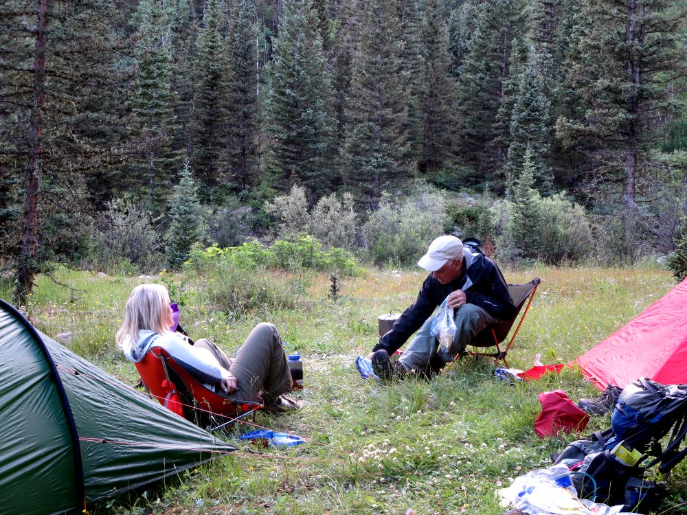 Tristan and Brittany, in Camp 1 |
 |
 |
We had a quiet night in camp, and the morning dawned clear and cool, at 41 degrees F. We had breakfast, broke camp, and were on the trail about 8:00 AM, which is the time we usually aim for. We headed up the trail toward the intersection of the Vallecitio Creek trail and the Rock Creek trail. We crossed Rock Creek after changing into water shoes, refilled our water bottles, and headed up the Rock Creek trail.
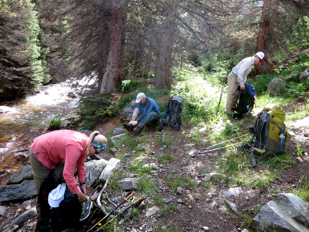 Changing shoes to cross Rock Creek |
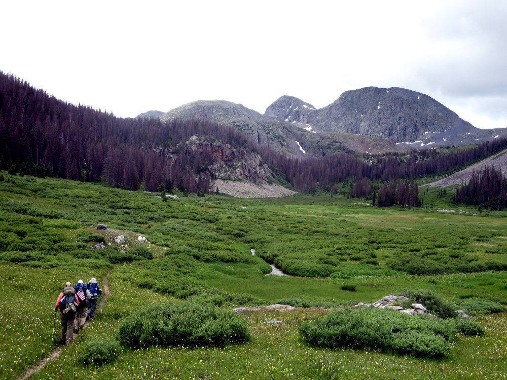 Headed up the meadow |
 Flowers, lots and lots of flowers |
 During our hikes, we always purify the water, under the prudent assumption that stream water in a wilderness is contaminated with giardia lamblia, animal (maybe human) fecal matter, and other nasty organisms. In the old days, that involved halazone or iodine tablets, which took 30 minutes or more to work, and gave the water a rather nasty taste, or boiling the water. In addition, there are potential health hazards involved in consuming too much iodine. Today, we use ultraviolet light purification. I carry a Camelbak All Clear, which screws on to the top of my water bottle after I have filled it with stream water. Push the button on the top, turn the bottle up and down during the 60 seconds it takes the light to purify the water, and done. It is powered by a rechargeable battery good for purifying 16 gallons of water three-quarters of a liter at a time. Although I carry a way to recharge the battery, I have never needed to.
Tristan carries a Steripen, which works a little differently. I used one before I got the All Clear, which I find easier to use.
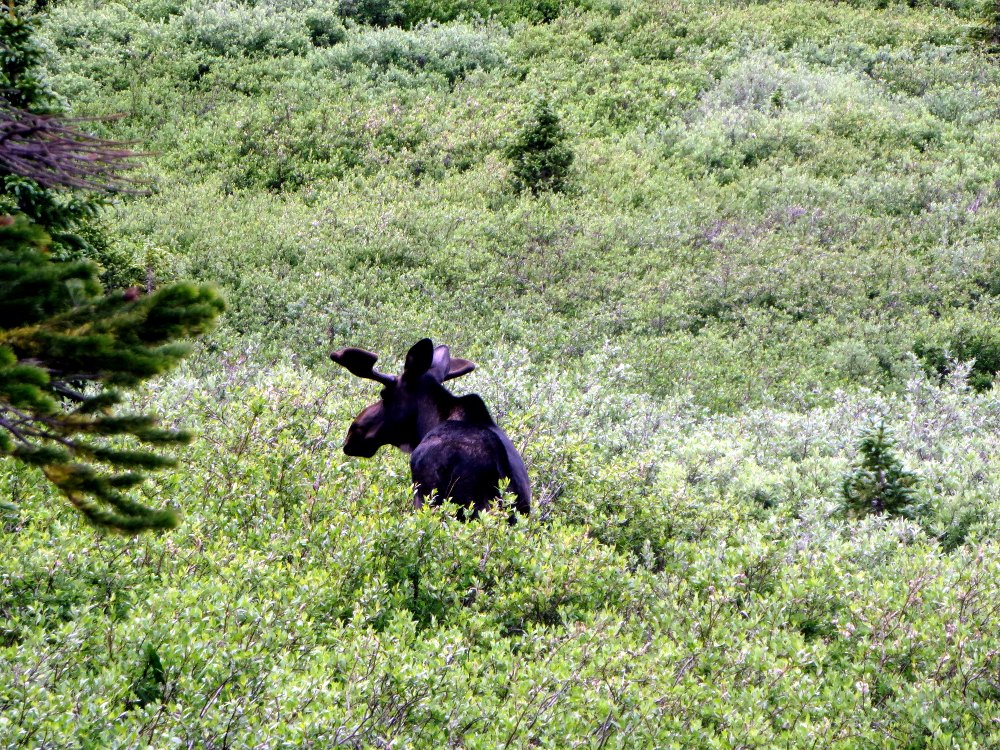
After crossing the meadow, we encountered a pair of moose, which seemed mostly unconcerned with our presence, and moved slowly away. The male is shown at right.
We now had to cross Rock Creek about three-quarters of a mile below the lake. The creek was running high and fast. We found a place above the trail to cross, which looked good. I crossed first, and dropped my pack and hiking poles behind me on a ledge. I took Tristan's hiking poles from him, gave him a hand, and pulled him across. He then stood on the rock to take a picture, slipped, and injured his hip by almost doing a complete split. Since he has artificial hips, that created a severe pain in one of his hip joints, and rendered him almost unable to walk.
 I walked up the trail, hoping to find a camping spot nearby where we could wait to see if he would recover, and did, a few hundred yards up the trail. I dropped my pack there, and proceeded back down to the crossing. I took Tristan's pack, and we preceded very slowly up the trail. We set up camp, and discussed options. We decided that given the difficulties of the trail, Tristan simply could not walk out. We were already 18 miles in, just about halfway on the total route, and the most difficult section of the route lay ahead.
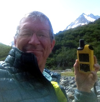
For several years, I have carried a means of calling for assistance through satellites, first through a Spot Personal Tracker, and now through a DeLorme inReach. I am pictured at right holding the inReach during a trip to Torres del Paine National Park in Chile on a trip with Tristan and some other friends. It is my considered opinion that being in places with no other form of communication without an equivalent device is irresponsibly stupid, given the low cost of acquiring and operating one. I carry it in my car in places where I know there is no cell service, which is a surprising amount of the United States. It allows me two-way contact with a Rescue Center, which I had never before used. It also allows one to send email or text messages to, and from, anywhere in the world, as well as to post to Facebook. It's handy technology that can reassure friends and family that you are alright, even in the most remote areas of the planet.
I used it now, and got an immediate response requesting the nature of the emergency. I told them, and given the lateness of the day, requested evacuation the following morning from Rock Lake, about a half-mile away, which Tristan believed he could walk up to in the morning. No one relished the thought of having to go downhill to cross Rock Creek again. I also sent a message to Alex, Tristan's wife, telling her he was injured, and that we had requested his evacuation. After some further exchanges with the Rescue Center, they dispatched a helicopter, and requested that we remain in position pending further instructions, which we acknowledged.
 The helicopter arrived overhead and orbited, evaluating conditions and possible landing sites. Our camp was at 11,600 feet. Rock Lake, a half mile away, was at 11,800 feet, and above the operational altitude limit of the helicopter in the then-current conditions with a full load. The pilot landed at Rock Lake, and dropped one of his two paramedics off to descend to our location, then landed in the meadow below us, and sent the other paramedic uphill to meet us. Dan, the paramedic dropped at the lake, reached us first, evaluated Tristan's condition, and asked if he thought that he could walk with assistance down to the meadow, and Tristan decided to try. A.J., the other paramedic, reached us partway down to the creek, and we proceeded slowly and carefully down. In the photo, Brittany is shown carrying the inReach in case further messages arrived while we were headed down.
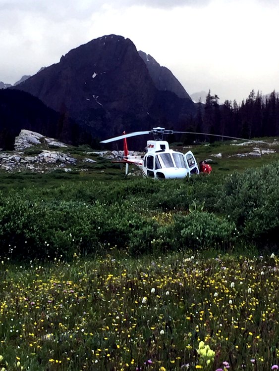
The paramedics got Tristan across the stream very carefully, and they and Zach headed down toward the helicopter, shown at left (photograph courtesy Zach Fraser). Once Tristan was in the bird, it took the pilot a while to ensure that he had ample lift margin to take off. Had he not been able to with all four of the people aboard, he planned to drop one of the medics off, who was prepared to take his sleeping bag and spend the night at our camp, as deteriorating weather threatened to prevent another trip to recover him. He'd have been very welcome, as we had plenty of food, liquor, and tent space for him. I think Brittany was a bit disappointed that precaution turned out to be unnecessary...
In the event, the pilot raised the helicopter very slowly, turning to the direction he wanted to go while still in ground effect, and was able to climb out down the valley. Once clear, he turned, and flew out over Rock Lake, giving Tristan a good view of what he would miss on the next day's hike.
I sent messages to both the Rescue Center and Alex that Tristan was outbound in the helicopter, and we terminated the SOS operation with the Rescue Center. I waited at the creek crossing for Zach to safely cross, and we proceeded back to camp for a quiet celebration of the successful extraction. I heard later in the evening from another friend who I had notified of the rescue that Tristan was with his friends Hal and Verdi, drinking wine and eating cheese, which caused Brittany to call him an unkind name...But we were all glad that he was in a much better place than he would have been, had we not been able to get him extracted.
Allow me to reiterate, if it's not already perfectly obvious to the most casual observer, that we'd have been, to say it a bit crudely, up shit creek without the inReach. We were a very long day's hike under the best conditions from anywhere we could have gotten help. Tristan was also carrying his inReach, so we even had a redundant communications link if one of the devices had been inoperable. And Tristan and I have many times hiked in places where a single day's hike out to get help wouldn't have been sufficient. And, needless to say, if you hike alone — well, enough said, I hope.
At the end of the day, we had hiked 7.2 miles, and had gone up and down a total of 3300 feet, which doesn't include a recon trip Zach and I made to Rock Lake to check out landing zones and possible camp sites, nor the walking done incidental to Tristan's evacuation. Long day.
 Evening in camp after the extraction Photo courtesy Zach Fraser |
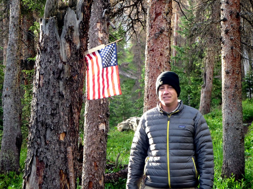 Zach, with the flag he carried |
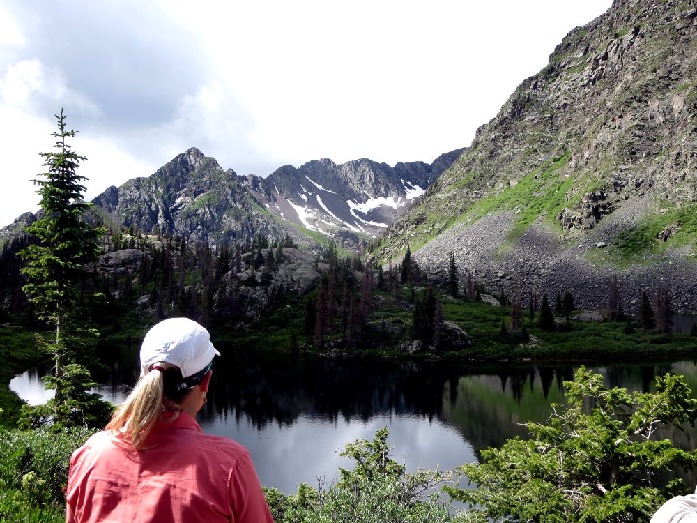
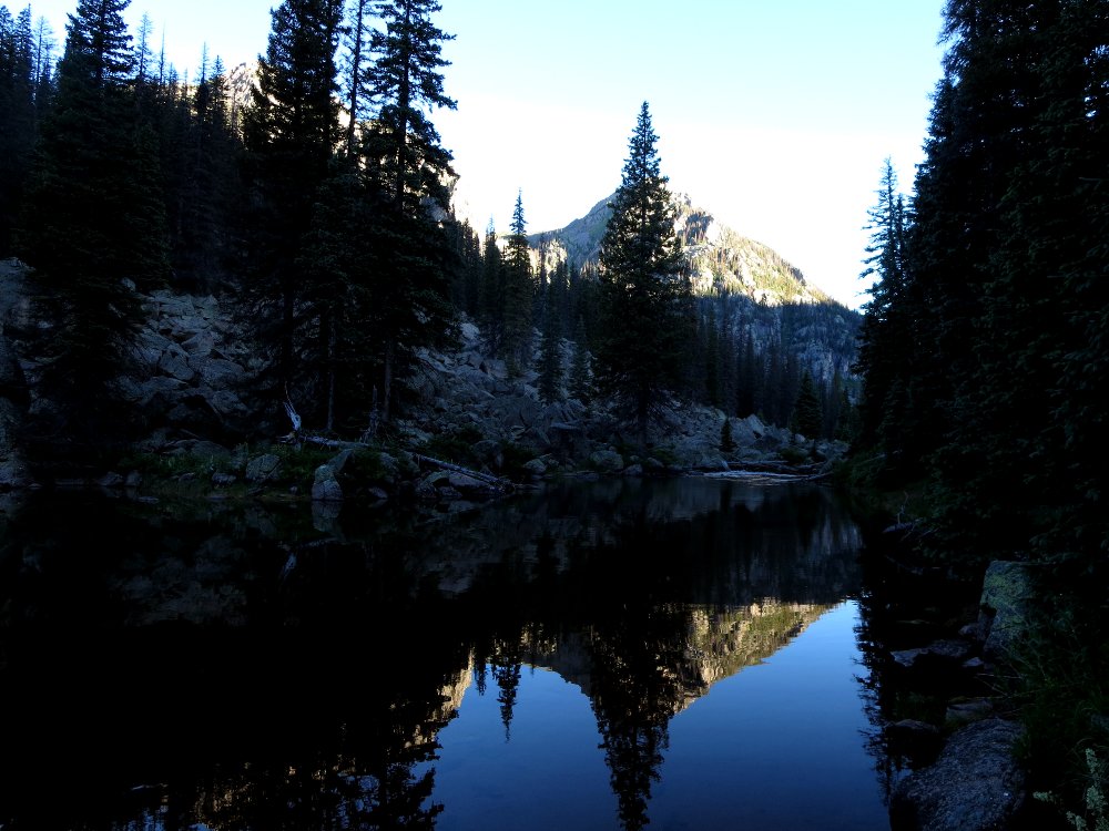
The next morning, we packed up camp, and headed up the trail. Once we reached Rock Lake, we stopped to refill our water bottles and bladders prior to climbing out to the pass to descend past Half Moon Lake and Moon Lake to reach our next camp below Emerald Lake. The trail up to the pass, and then the descent afterwards, made for one of the tougher days I have experienced hiking.
When someone in my presence uses the phrase, "It's all downhill from here," I want to slap them. I don't only because obviously they have never spent much time hiking downhill on a very steep trail, which is just as hard as climbing up, and more dangerous if you slip.
 Water stop at Rock Lake |
 Climbing toward the pass |
 View of Rock Lake from the pass Yes, that white stuff is snow |
 Steep descent toward Half Moon Lake |
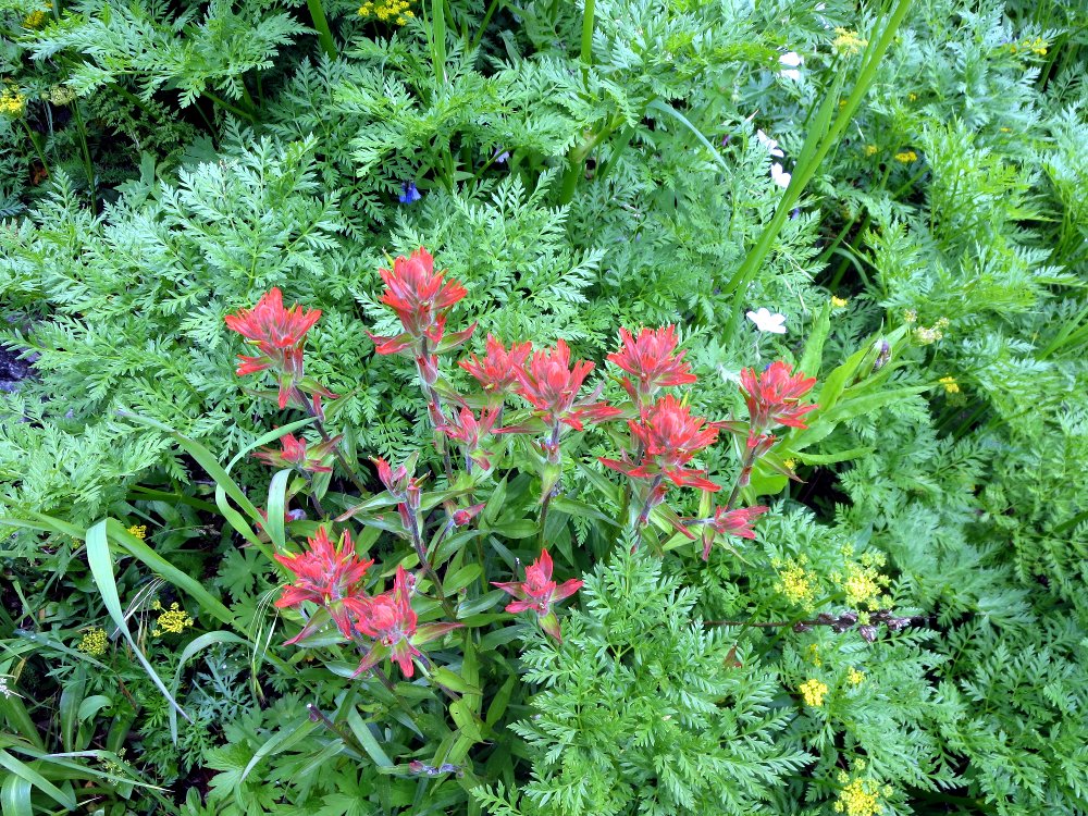
Flowers and more flowers... |
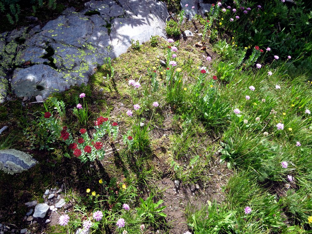 |
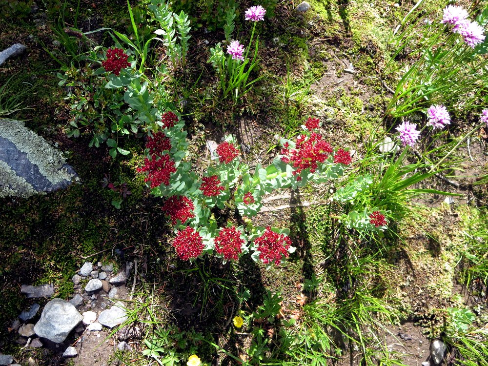 More flowers... |
 Brittany Fraser, Attorney at Law, at Moon Lake Far, far, from the nearest courtroom |
 Waterfall, one of many... |
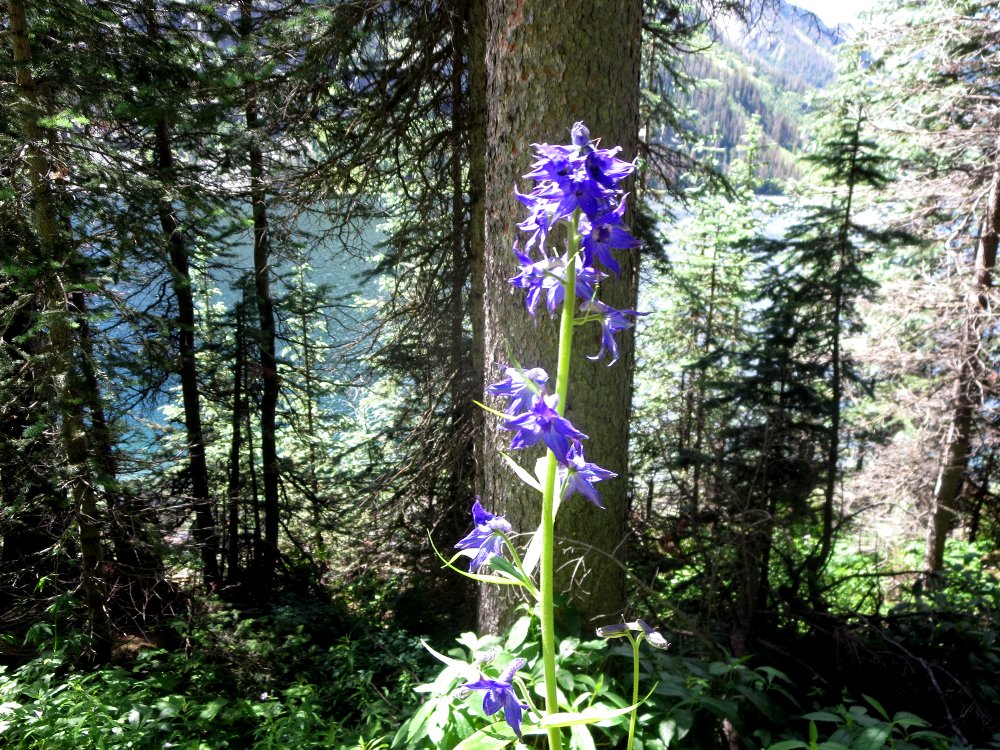
The hike from Moon Lake down to Emerald Lake was a seemingly endless procession of flowers and waterfalls.
 |
 Zach, in a meadow of flowers |
 |
 |
 |
 |
 |
 We finally reached Emerald Lake |
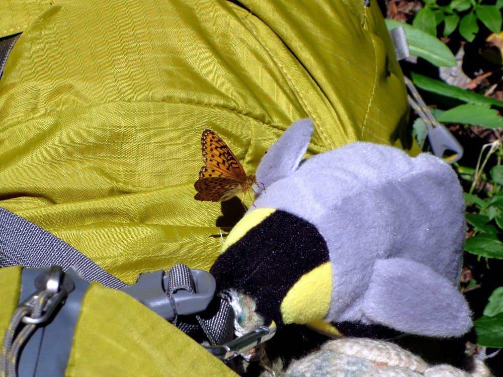 A butterfly decided to try a meal from Pedro, my penguin mascot from Chile. |
 |
 Camp 3 |
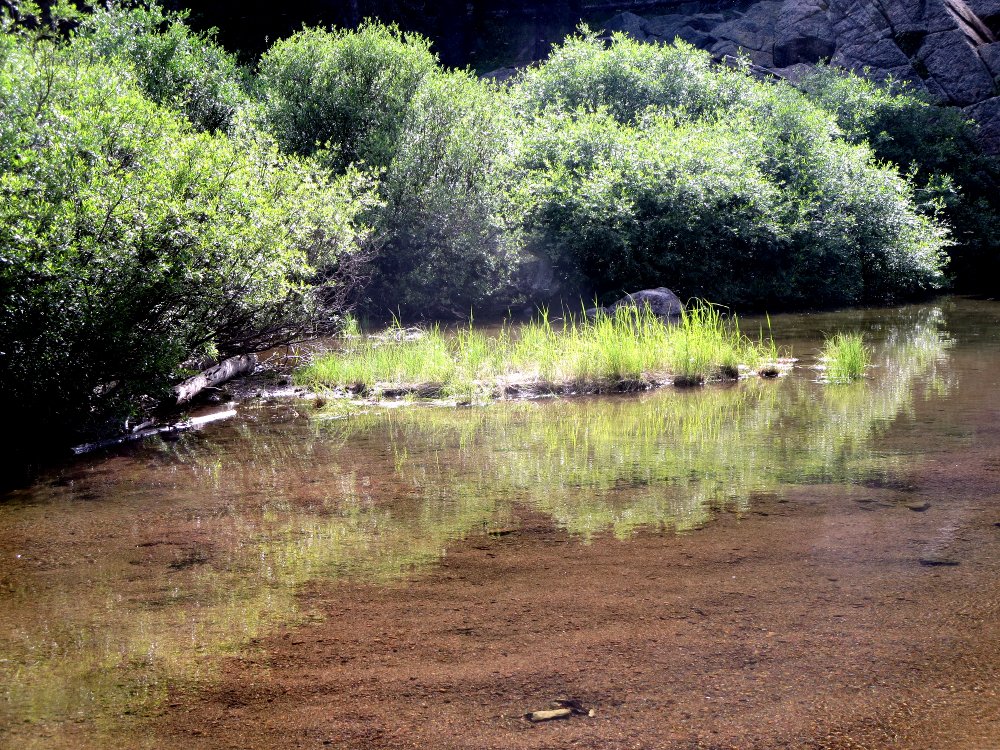 |
We found a splendid camp site below Little Emerald Lake thanks to directions by friendly fishing campers, and settled in for the evening. Zach went downhill looking for water, and found a splendid little beach on the outflow stream from the lake, and the scene on the upper right is one I am itching to paint, should I decide to make time again for painting. We also had an observer from the rocks, Marty the Marmot, below.
By the time we reached camp, we had hiked 8.4 miles, ascended 2,032 feet, and descended 3,526 feet, for a total elevation change of 5,558 feet. And then there was some more up and down to the water point, not recorded. We were all beat. It was our last night on the trail, and we drank up all the liquor that was left. I went to bed in a serious Scotch fog, and woke up with a headache and dehydrated at about 0230, so I took a couple of ibuprofen, drank some water, and went back to sleep. I woke up with muscular soreness — but no headache.
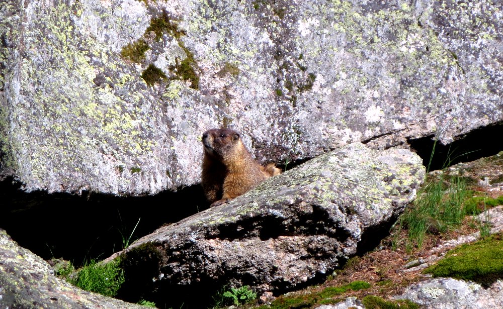 Marty |
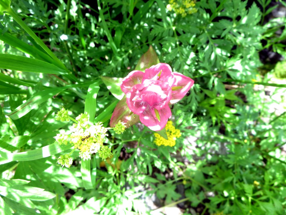
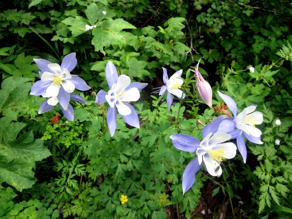
 Columbines, the state flower of Colorado |
 Sunrise at the water point |
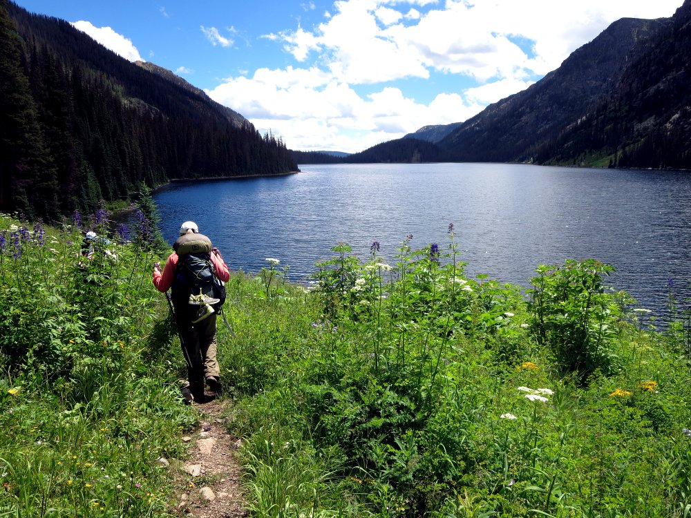
We had a leisurely breakfast, packed camp, and hit the trail. There were lots more flowers on the way down. We passed several parties of fishermen on the way up, a group of kids with adult leaders, and one group which was doing our loop in reverse, which I didn't envy, as they were doing the hard elevation climbs the first day out. We pretty much flew down the trail. Once we reached the Los Piños River, there were miles of beautiful meadows full of sunlight and flowers.
Four years ago, I sent Alex a message the last day on our Continental Divide hike previously mentioned, which said, "Hiking party begs for cold beer at trailhead." I did that again on the last day, with the same wording. We got beer then, and Alex, Tristan, now walking with the aid of a cane, and Hal Murphree delivered to the trailhead this time. Man, did that cold beer taste good! Gotta love that technology - not to mention that it got Tristan extracted.
Total for the day was 10.1 miles, 1,207 feet climbing, 3,394 feet descending, total elevation change 4,601 feet. So, for the four days, we did 37.9 miles, with 19,664 feet of elevation gain and loss. I was a bit stiff and sore the next day.
It was a wonderful hike! What gorgeous scenery! I will hike with these friends any time, anywhere on earth. So far, Tristan and I have only hiked together of three continents — so there is more work to be done!
Thanks to Tristan, Brittany, Zach, and our support crew, Alex MacDonald and Hal Murphree. Cheers!